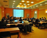
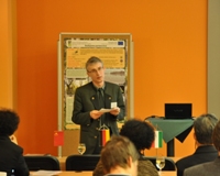
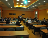
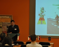
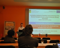
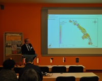
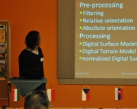
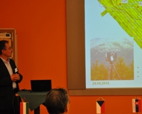
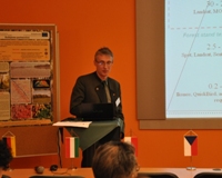
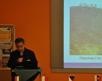
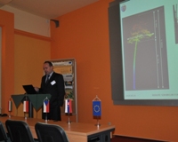
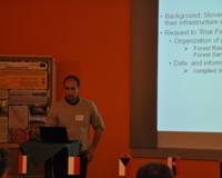
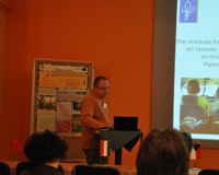
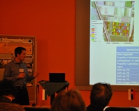
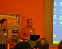
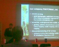
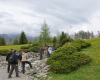
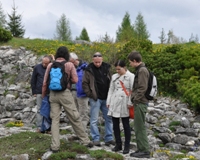
Dňa 24. - 25. apríla 2014 sa v rámci realizácie projektu INMEIN v Novom Smokovci konal medzinárodný vedecký seminár za účelom prezentácie výsledkov projketu ako aj výmeny aktuálnych poznatkov v oblasti využitia DPZ v monitoringu lesov. Prezentácie a fotodokumentácia zo seminára je dostupná na tejto stránke.
Program seminára
Otvorenie seminára a privítanie účastníkov koordinátorom projektu
Prezentácie:
- Infrastructure, aerial survey and preprocessing of LIDAR data and multispectral images for INMEIN project
Ľuboš Halvoň – National Forest Centre, Zvolen - Harmonization of field surveys
Gábor Illés – Forest Research Institute Sarvár - Harmonization of field surveys and procedures for derivation the stand and tree variables from Airborne Laser Scanning (ALS) data
Ivan Sačkov – National Forest Centre, Zvolen - ALS data-processing and its usage for forest cover and forest stand parameter estimation
Géza Király – University of West Hungary, Sopron - Terrestrial Laser Scanning on the Slovakian side – methodology and results
Milan Koreň – Technical University Zvolen - The concept of hierarchical classification of forest land in Danube inundation area: examples of RS data utilization on different hierarchical levels
Tomáš Bucha - National Forest Centre, Zvolen - Forest Fire Management and Research in China
Yi Haoruo - Chinese Academy of Forestry, Beijing - LiDAR technology - modern tools for the monitoring and management of forested areas in Poland
Piotr Wężyk, Marta Szostak – Agricultural University Krakow - Towards a European Forest Risk Facility: FRISK-GO project introduction
Frank Krumm - EFICENT - Tree species classification using Lidar data and airborne hyperspectral imagery
Péter Burai, Csaba Lénárt - Károly Róbert College, Gyöngyös


