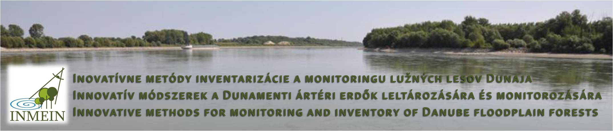
Innovative methods for monitoring and inventory
of Danube floodplain forests
News and announcements
- National Forest Centre has launched testing operation of the INMEIN map portal
- Implementation of INMEIN project finished in December 2014. Examples and samples of the project outputs are available at the Results section.
- The INMEIN project team offers opportunity to download and use selected data from aerial survey and LiDAR scanning for research and education purposes. Please contact Dr. Ivan Sackov for access details to download the data. More information on available data can be found at the Results section.
- Outputs from terrestrial laser scanning of forests stands - visualisation of the plots is available in web application - vistit the Results section for more information
News archive
- Scientific seminar presenting INMEIN results took place on April 24 - 25, 2014 in Nový Smokovec. Presentations as well as photos from the seminar are available at the seminar section.
- The third project meeting took place on October 10-11, 2013 in Szigetkoz
- Aerial survey of the project area was succesfully done on September 8, 2013
- The second project meeting took place on March 28, 2013 in Gabcíkovo
- Kick-off meeting and workshop took place on October 18-19, 2012 in Banská Štiavnica
- Project website was published on internet on October 17, 2012
- The project officially started on September 1, 2012